3D Crustal modelling and resource potential mapping of deep-seated mineral deposits of the Aravalli province, western Rajasthan
 |
|
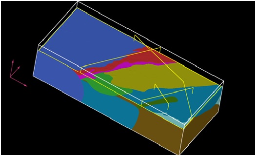
Geologically, the Aravalli Province of Rajasthan has significant potential for several metallic mineral deposits, in particular, of lead-zinc, gold and copper. However given the exploration maturity of the province, it is likely that “easy deposits” with obvious surface signatures have already been discovered. The challenge therefore is to identify deep-seated deposits that may have very subtle, or none, surface expressions. Existing approaches to mineral exploration involve using 2D conceptual geological models in conjunction with direct detection of geophysical, geochemical or spectral anomalies to map mineral potential areas. This is a major limitation because mineralization processes operate in 3D space and time and are integral components of the overall spatio-temporal crustal evolution of a province. In this research a 3D model of the crustal architecture of the province based on field geological/geochronological, remote sensing and potential field data in order to obtain a geological framework for building spatio-temporal models of lead-zinc, copper and gold mineral systems in the province. These models would be then used for identifying geological controls on lead-zinc, copper and gold mineralization in the province. Finally, the responses of these 3D controls in the available 2D multi-parametric field and remote-sensing datasets, and apply GIS-based spatial mathematical models to map the potential of these metals in the Aravallis. The key outcome of the research would be identification of exploration targets for deep-seated deposits of lead-zinc, copper and gold. |